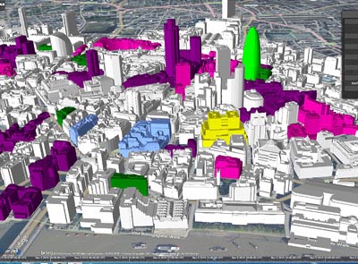
Our Geospatial Division consists of a unique blend of highly specialized GIS professionals
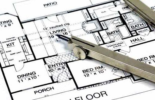
We have established a global client base, which comprises of building services contractors, architects
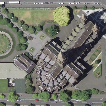
InfoTech Enterprises seamlessly integrates LiDAR data with other data sets, orthophotos imagery, orthophotogeneration services
InfoTech have come to realize that geographic space along with the data describing is part of our everyday world and advancement in sophisticated space technology (which can provide large volume of spatial data), along with declining costs of computer hardware and software has made Remote Sensing and G.I.S. affordable to not only complex environmental / spatial situation but also affordable to an increasingly wider audience.
Read more

InfoTech believes that CAD is not only used for detailed engineering of 3D models and/or 2D drawings of physical components, but it is also used throughout the engineering process from conceptual design and layout of products, through strength and dynamic analysis of assemblies to definition of manufacturing methods of components
Read moreInfoTech believes that Photogrammetry has been the leader among all other mapping techniques and now LiDAR (Light Detection And Ranging) has carved a niche for itself. But combining the strength of these two techniques increases the overall accuracy of LiDAR DTMs, while reducing the cost and time associated with photogrammetry.
Read more