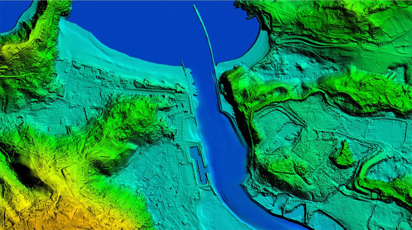
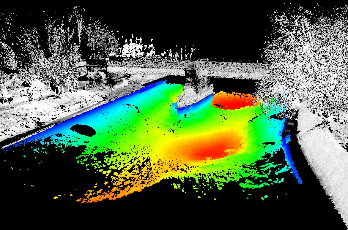
In general terms Bathymetry is defined as for measurement of ocean depth through depth sounding. Bathymetric Lidar is a technique to capture geospatial data of the coastline and (shallow) waters. It is a method potentially facilitating efficient and fast creation of hydrographic data.

It offers a cost effective solution to wide area surveys which are impossible, difficult or expensive to access or complete using conventional acoustic systems.
With sea level rise and increases in the severity of extreme natural events, there has been a renewed push to further our understanding of the coastal zone. Fundamental to understanding risk in areas of high susceptibility is capturing the near-shore land and sea surface.
Bathymetric Lidar is the most effective and cost-efficient technology to capture both the land and seafloor simultaneously to provide a continuous, detailed 3D elevation model along the coastline. Its ability to successfully capture elevation on both sides of the coastline.
InfoTech provides highly accurate Bathymetry post processing products and having dedicated LiDAR classification staffs.
Bathymetric LiDAR is an airborne acquisition technology. InfoTech is engaged in the post processing of Bathymetric data and provides solutions to its customers accordingly. As opposed to airborne topographic LiDAR, which uses an infrared wavelength, bathymetric LiDAR systems use a green wavelength to penetrate the water column for measuring the seafloor. Airborne LiDAR (Light Detection and Ranging) bathymetry techniques may be a valuable tool in shallow water areas. This remote sensing technology for 3D mapping of the seafloor has undergone very rapid development over recent years and the quality of the data is nowadays often comparable to multibeam. Important benefits of this technology are the ability to survey seamlessly across the land-sea boundary. InfoTech map extremely shallow areas with complex and irregular topography that are off-limits.

The classification on the mainland has to be done in the usual way (ground, non-ground, error etc.) by InfoTech. In the area of the sea are some new classes and should be filtered as water, ground under water and vegetation under water. Bathymetric classification is quite tricky and involves much more technical expertise comparative to the regular Ground and Utility classification. Accordingly the quality demand by the customers is very high and we at InfoTech, understands this and put our best of LiDAR brains on the data to make sure that we adhere to client specifications and other requirements.
